
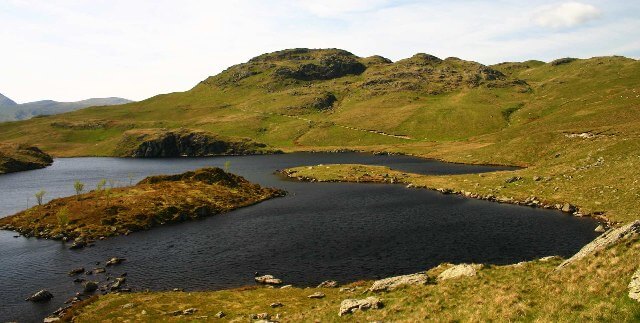
Angletarn Pikes
567 m fell above Patterdale.
- Usual start
- Patterdale
- Time
- About 4–6 hours there and back
- Grade
- Moderate
Angletarn Pikes is a 567 m Wainwright in the far eastern fells, above Patterdale. Two small rocky tops above Angle Tarn, on the high route between Patterdale and Howtown. A usual day starts from Patterdale and takes about 4–6 hours. This guide grades it moderate, judging distance and steepness in fair summer conditions. Read a mountain forecast before a high fell, and turn back if the ridge is in wind, cloud, or ice.
Nearby
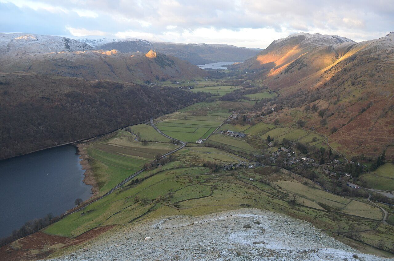
Patterdale
townUllswater
Population: 501
The valley and village south of Glenridding, under St Sunday Crag.
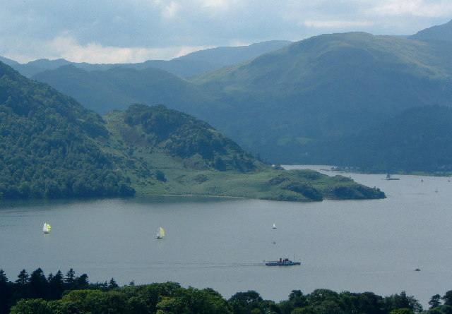
Ullswater
lakeUllswater
Surface area: 8.9 km² (3.4 sq mi) · Length: 11.8 km (7.3 mi) · Max depth: 63 m (207 ft)
The second longest lake, with steamers, Aira Force, and Helvellyn above the south end.
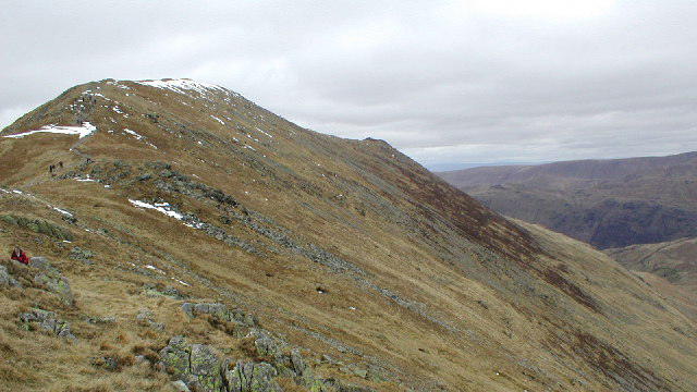
St Sunday Crag
fellUllswater
841 m (2,759 ft) · Moderate
841 m fell above Patterdale.
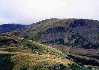
Birks
fellUllswater
622 m (2,041 ft) · Moderate
622 m fell above Patterdale.
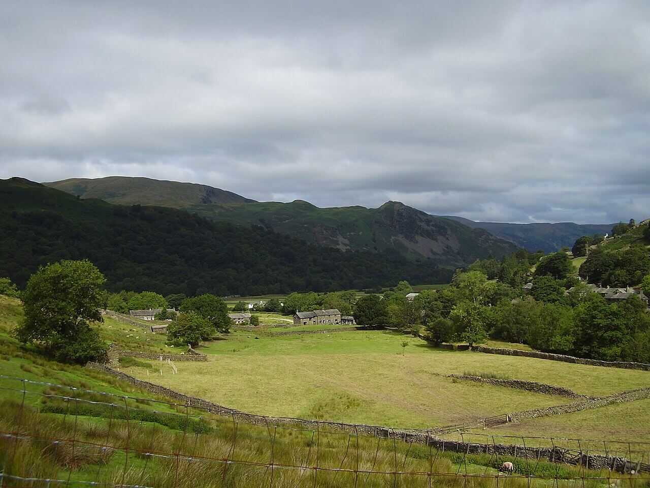
Arnison Crag
fellUllswater
433 m (1,421 ft) · Easy
433 m fell above Patterdale.