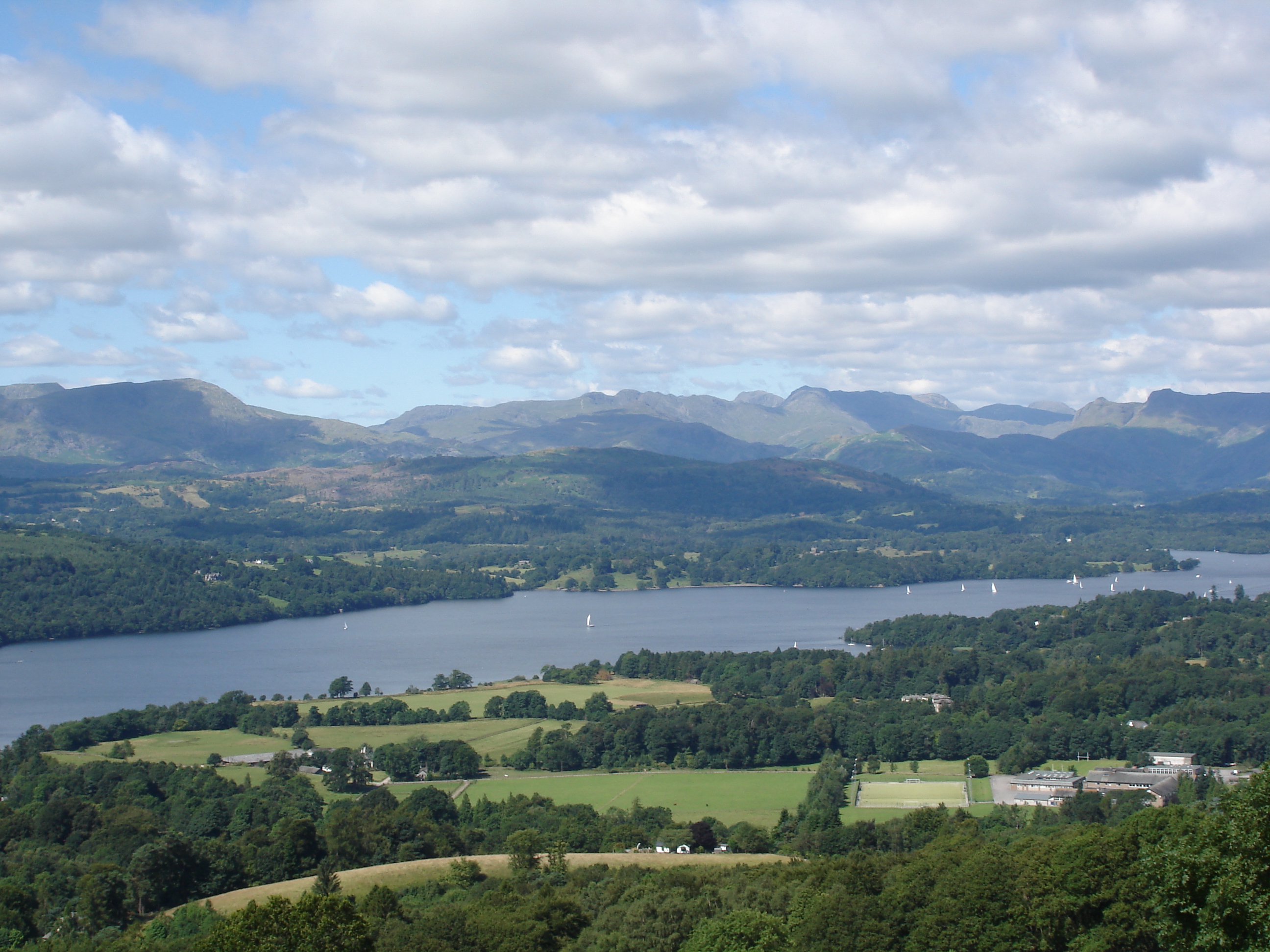
Windermere
lakeWindermere and the south
Surface area: 14.73 km² (5.69 sq mi) · Length: 18.08 km (11.23 mi) · Max depth: 66.76 m (219.0 ft)
England’s largest lake, with Bowness, Ambleside, and the cruises along its length.
The principal lakes, largest surface area first. Smaller waters such as Tarn Hows are listed with the attractions.
Windermere and the south
Surface area: 14.73 km² (5.69 sq mi) · Length: 18.08 km (11.23 mi) · Max depth: 66.76 m (219.0 ft)
England’s largest lake, with Bowness, Ambleside, and the cruises along its length.
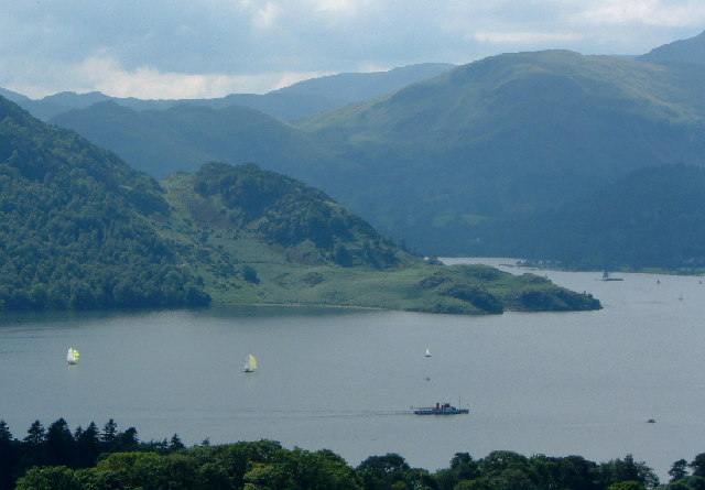
Ullswater
Surface area: 8.9 km² (3.4 sq mi) · Length: 11.8 km (7.3 mi) · Max depth: 63 m (207 ft)
The second longest lake, with steamers, Aira Force, and Helvellyn above the south end.
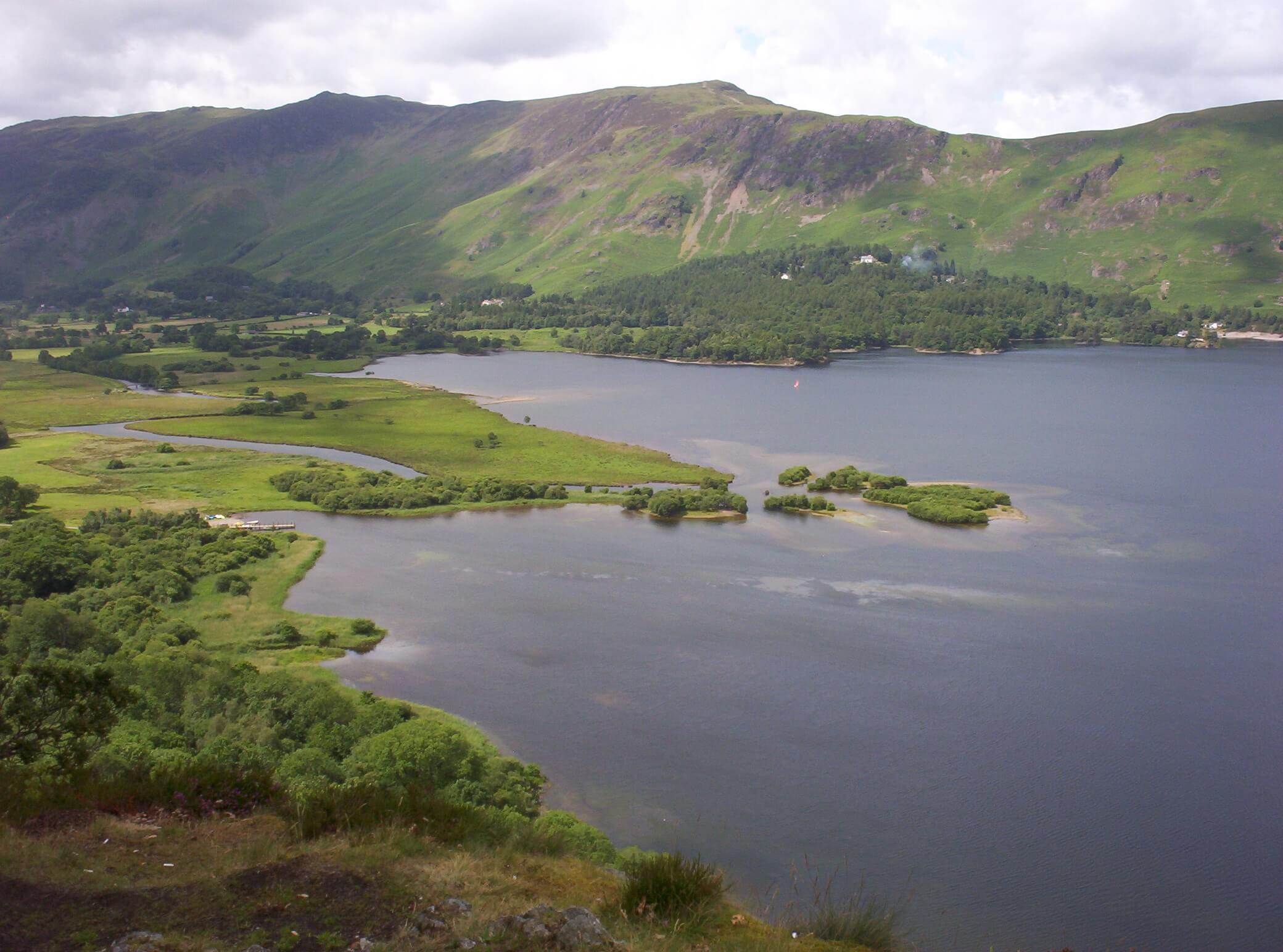
Keswick and Borrowdale
Surface area: 5.2 km² (2.0 sq mi) · Length: 4.6 km (2.9 mi) · Max depth: 22 m (72 ft)
The lake at Keswick’s edge, with launches, islands, and Catbells on the far shore.
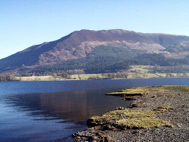
Keswick and Borrowdale
Surface area: 5.1 km² (1.98 sq mi) · Length: 6.4 km (4 mi) · Max depth: 63 m (207 ft)
The most northerly lake, under Skiddaw and beside the A66.
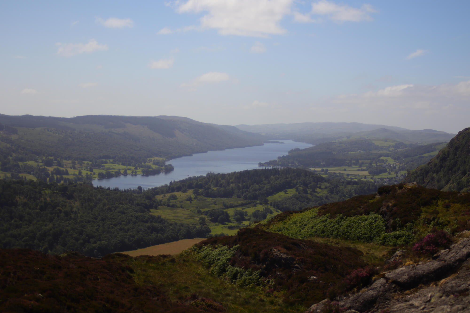
Coniston and Hawkshead
Surface area: 4.7 km² (1.8 sq mi) · Length: 8.8 km (5.5 mi)
The lake under the Coniston fells, with Brantwood on the east shore and the Gondola on the water.
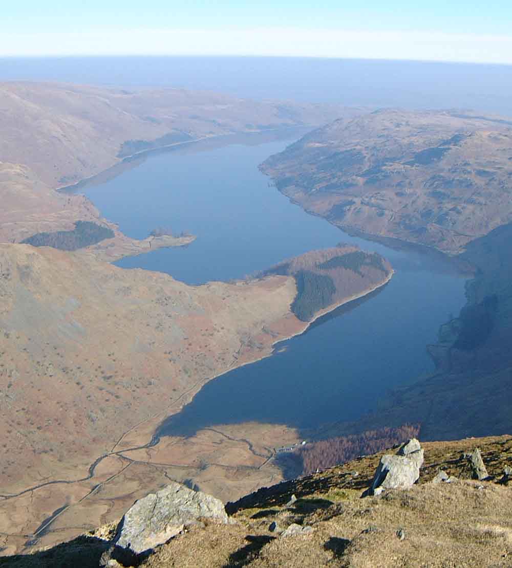
Haweswater and the east
Surface area: 3.9 km² (1.5 sq mi) · Length: 6.7 km (4.2 mi) · Max depth: 57 m (187 ft)
A reservoir under the High Street fells, with Mardale at its head.
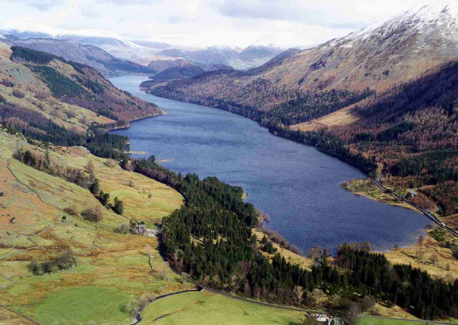
Keswick and Borrowdale
Surface area: 3.25 km² (1.25 sq mi) · Length: 6.05 km (3.76 mi) · Max depth: 40 metres (131 ft)
A reservoir between Keswick and Grasmere, under Helvellyn’s western side.
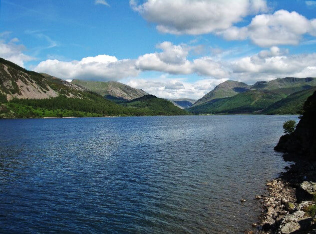
Buttermere and the west
Surface area: 3 km² (1.2 sq mi) · Length: 4.17 km (2.59 mi) · Max depth: 45 m (148 ft)
The westernmost lake, with no public road along the shore and Pillar at its head.
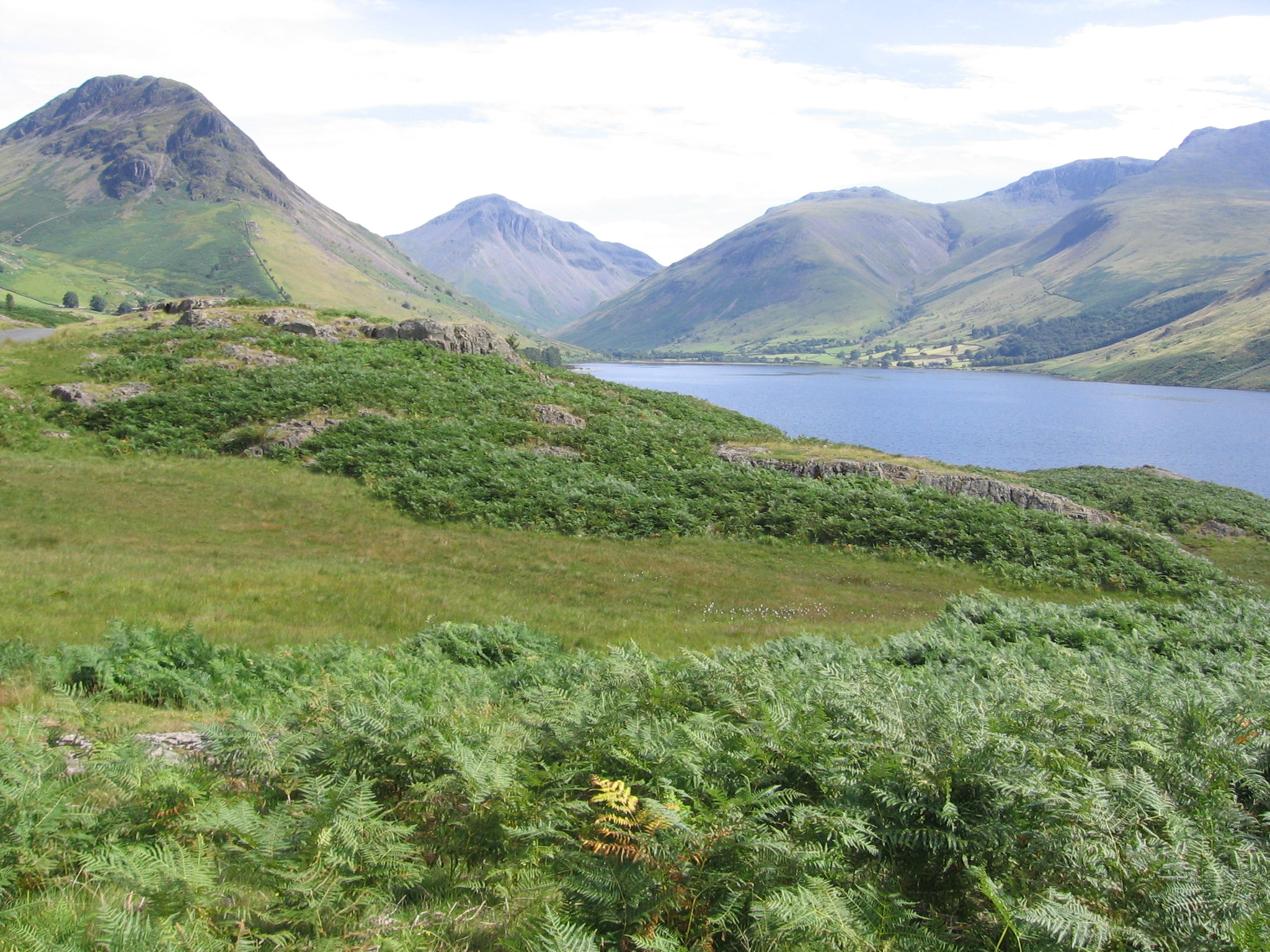
Buttermere and the west
Surface area: 2.8 km² (1.08 sq mi) · Length: 4.88 km (3.03 miles) · Max depth: 79 m (258 feet)
England’s deepest lake, under the Wasdale screes, with Scafell Pike at its head.
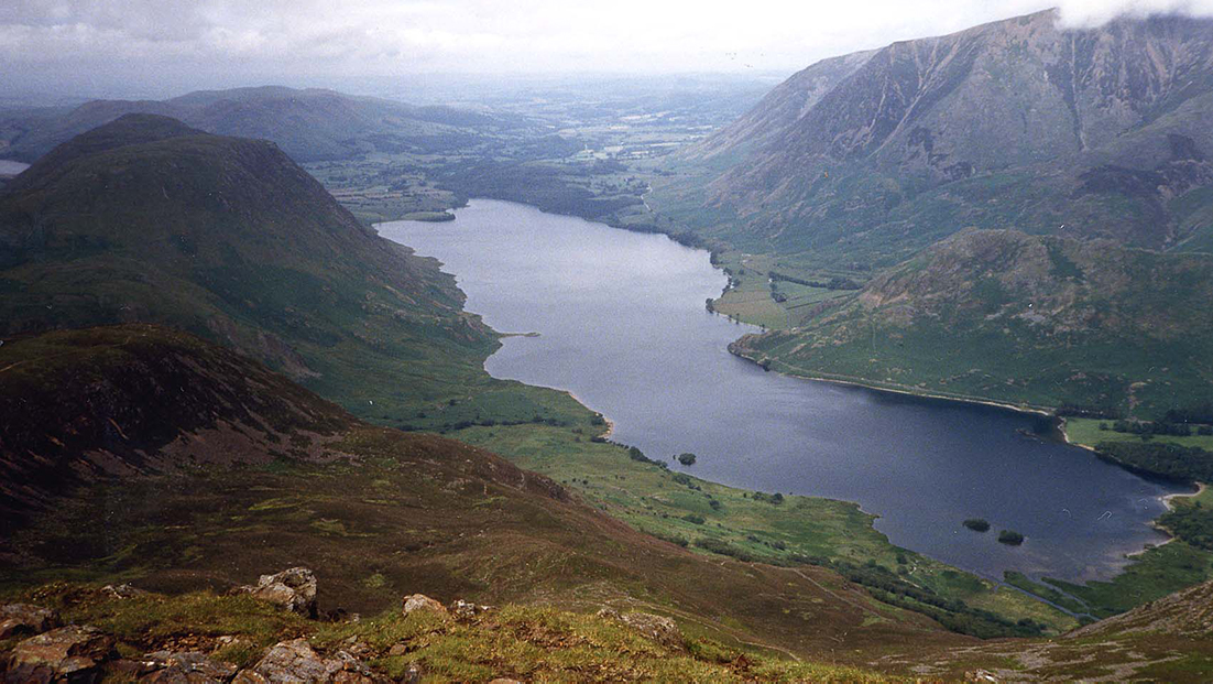
Buttermere and the west
Surface area: 2.57 km² (0.99 sq mi) · Length: 2.5 mi (4.0 km) · Max depth: 79 m (258 feet)
The larger lake below Buttermere, with Mellbreak on the western shore.
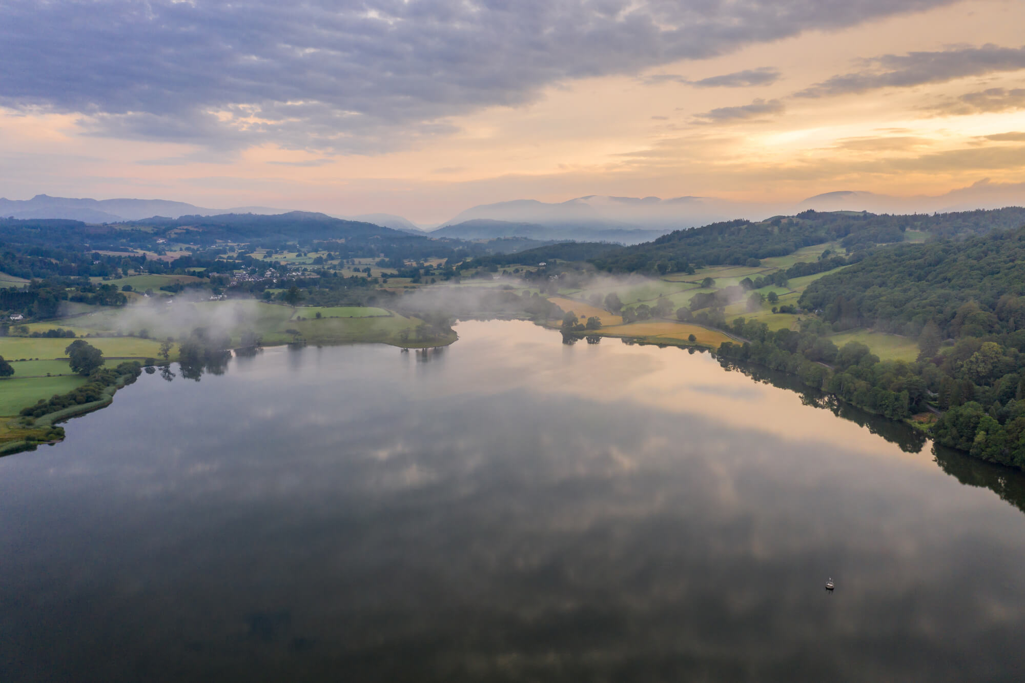
Coniston and Hawkshead
Surface area: 1.1 km² (0.44 sq mi) · Max depth: 15.5 m (50.9 ft)
A quiet lake between Hawkshead and the west shore of Windermere.
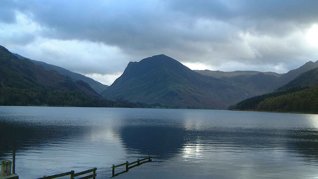
Buttermere and the west
Surface area: 0.93 km² (0.36 sq mi) · Length: 2 km (1.2 mi) · Max depth: 23 m (75 ft)
A small lake between Crummock Water and Honister, under High Stile and Fleetwith Pike.
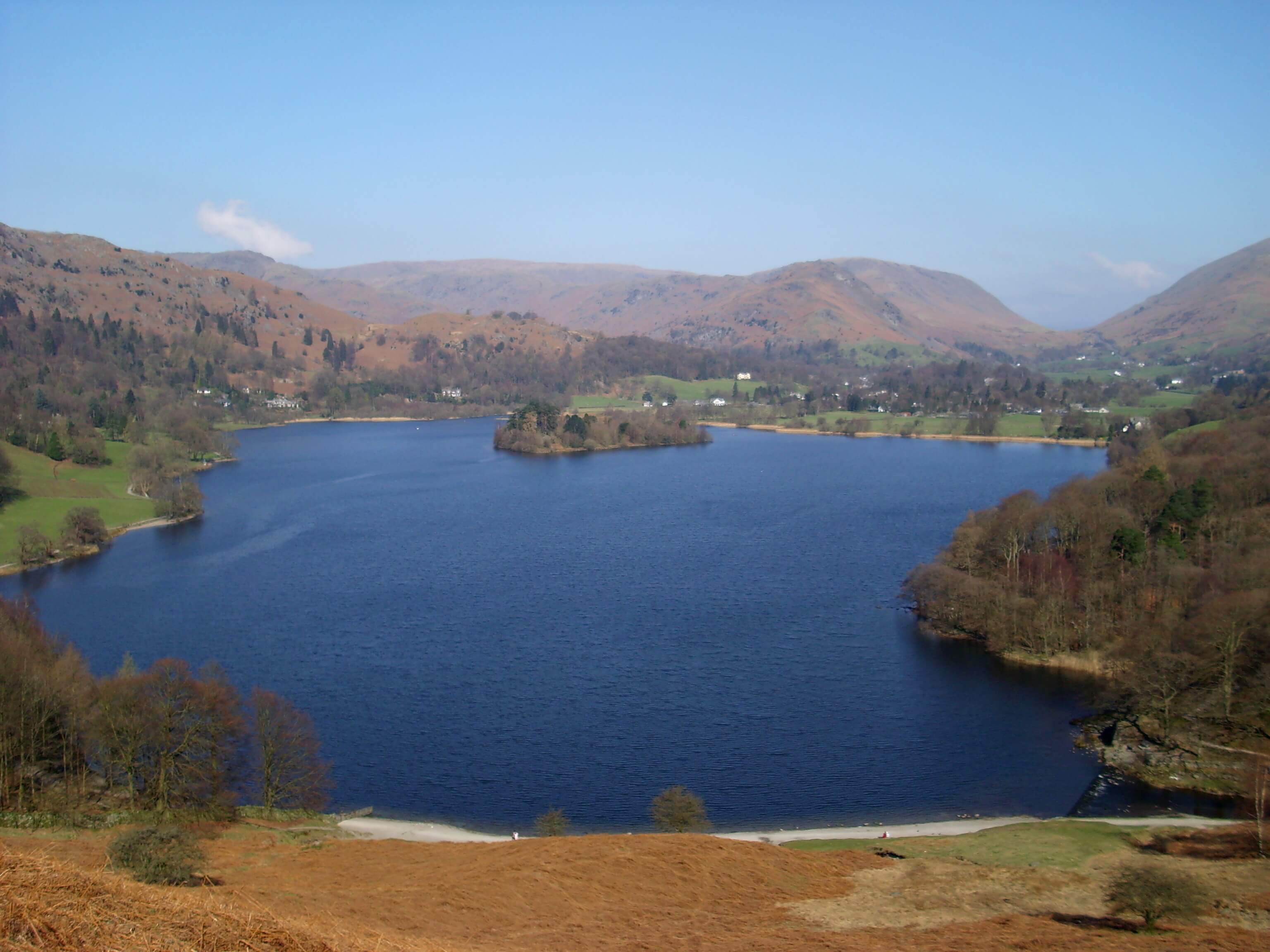
Ambleside, Grasmere and Langdale
Surface area: 0.62 km² (0.24 sq mi) · Length: 1680 yd (1540 m) · Max depth: 70 ft (21 m)
The small lake in the valley bottom, with the village on its northern shore.
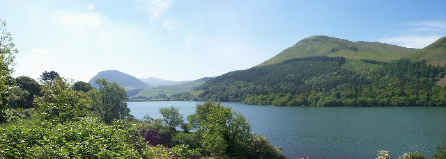
Buttermere and the west
Surface area: 0.60 km² (0.23 sq mi) · Length: 1.8 km (1.1 mi)
A small, quiet lake west of Crummock Water.
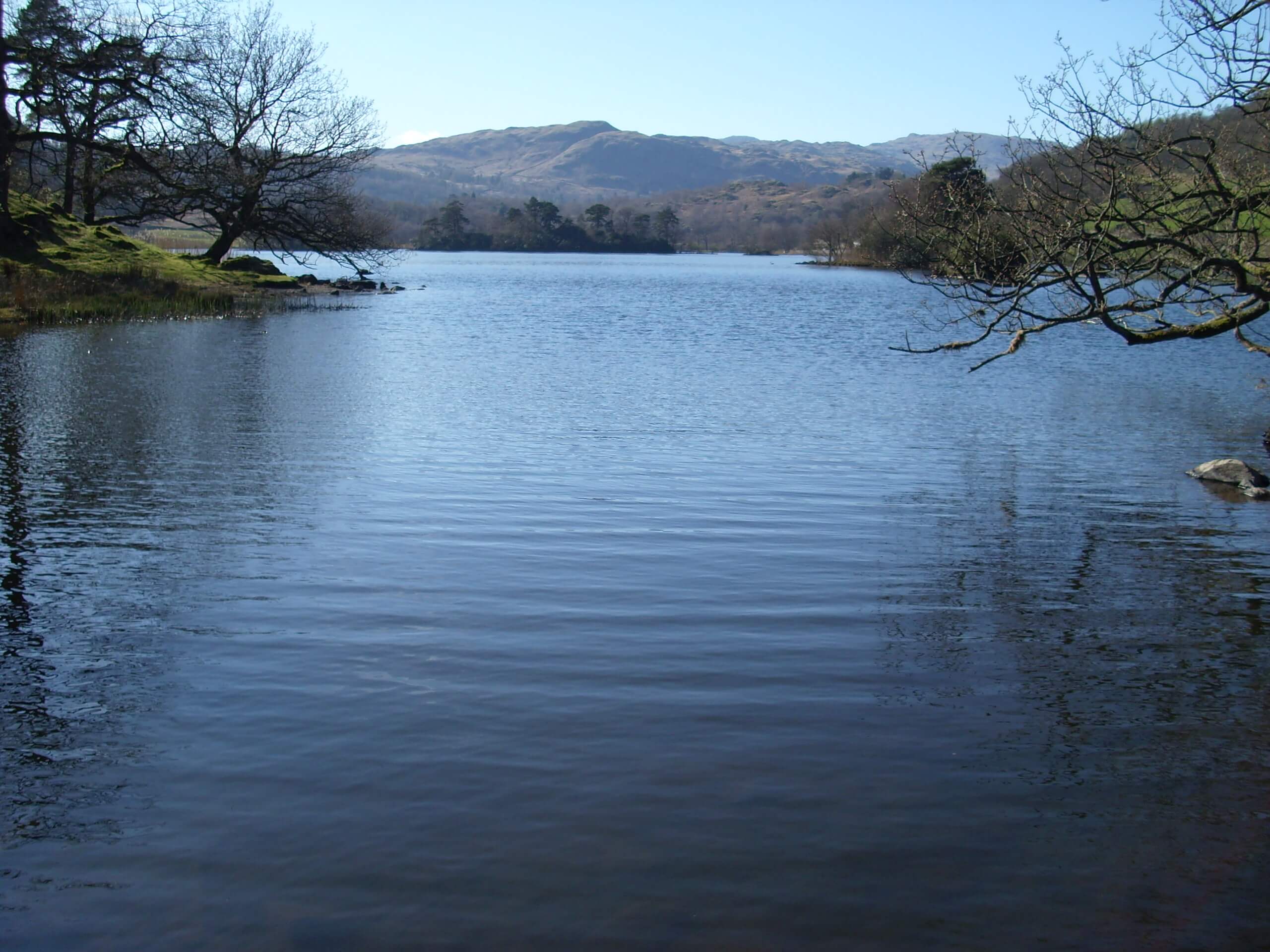
Ambleside, Grasmere and Langdale
Surface area: 0.31 km² (0.12 sq mi) · Length: 1,290 yd (1,180 m)
The small lake between Grasmere and Ambleside, under Nab Scar.
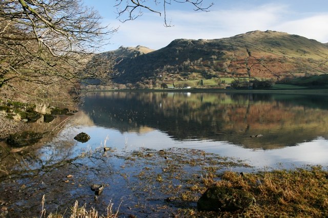
Ullswater
Surface area: 0.19 km² (0.07 sq mi) · Length: 600 m
A small lake under Kirkstone Pass, between Hartsop and the top of the pass.
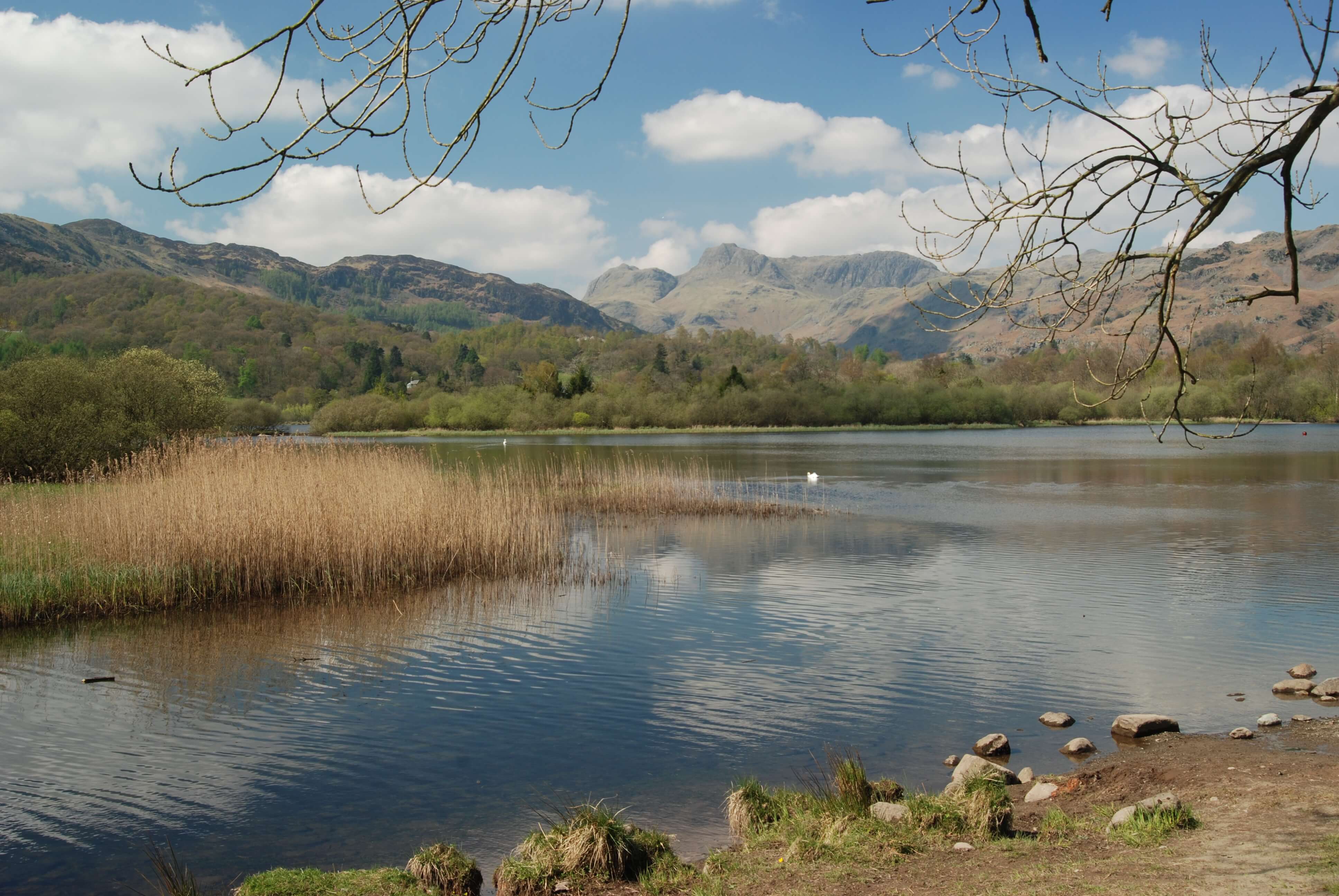
Ambleside, Grasmere and Langdale
Surface area: 0.16 km² (0.06 sq mi) · Length: 1,030 yd (940 m)
A small lake at the foot of Great Langdale, split into three basins.