Image credit: Wikimedia contributor · CC BY-SA 3.0 · http://creativecommons.org/licenses/by-sa/3.0/ · Source
town · Buttermere and the west
Buttermere
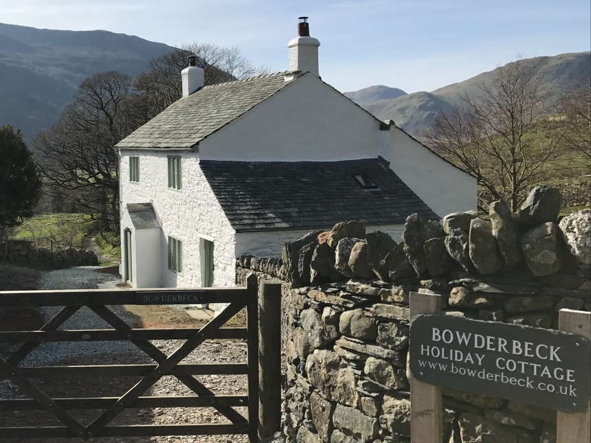
The hamlet between Buttermere and Crummock Water.
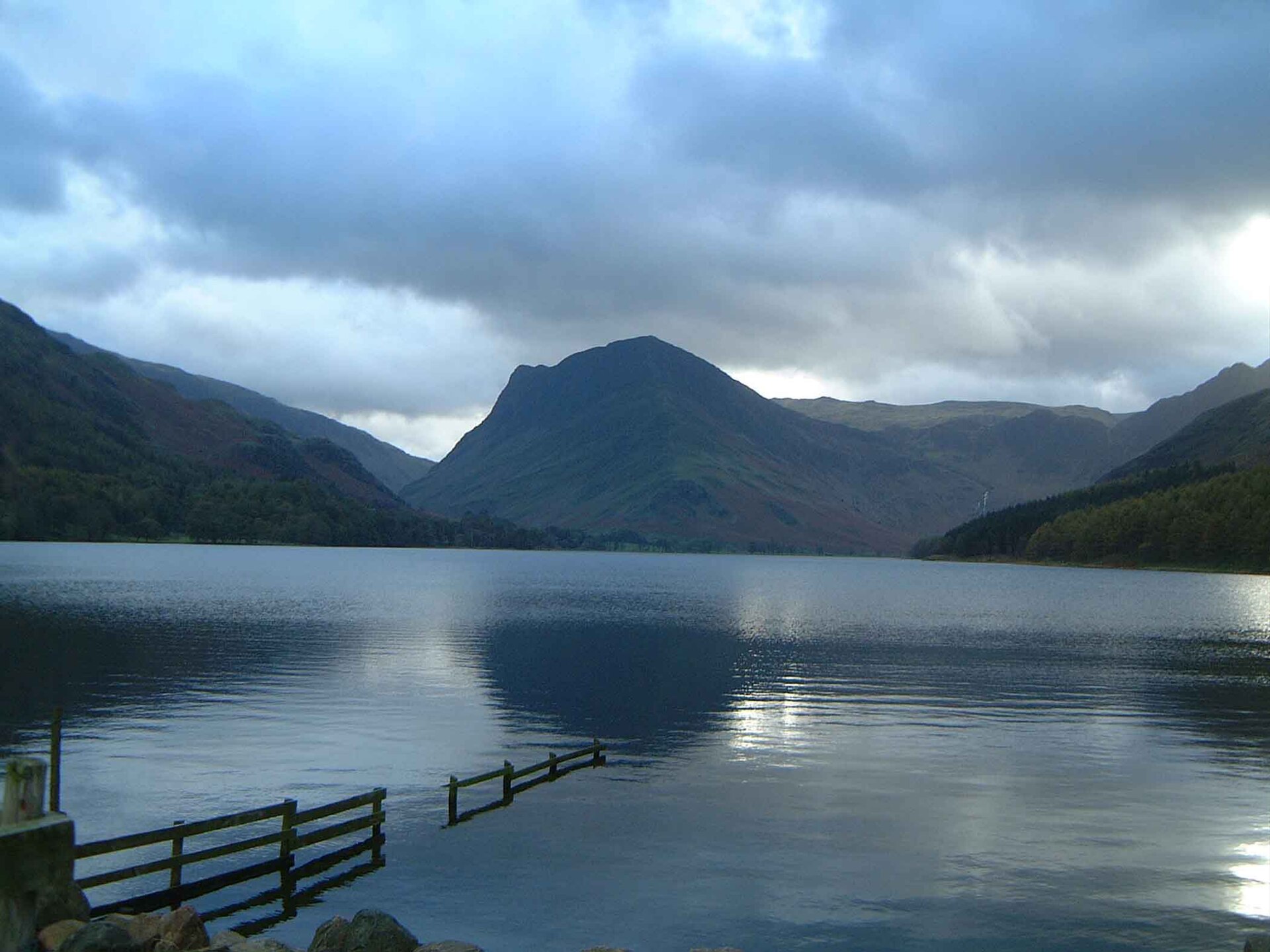
Buttermere village is the small settlement between the two lakes, with a pub, a farm cafe, and the starts of the paths around the shore and up Haystacks, Red Pike, and Robinson. The lake of the same name is the water to the south-east. Parking fills early on fine days. The Honister road continues over the pass to Borrowdale.
Nearby
Buttermere
lakeButtermere and the west
Surface area: 0.93 km² (0.36 sq mi) · Length: 2 km (1.2 mi) · Max depth: 23 m (75 ft)
A small lake between Crummock Water and Honister, under High Stile and Fleetwith Pike.
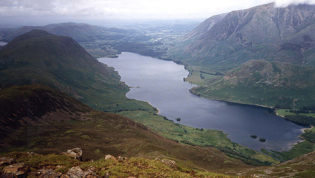
Crummock Water
lakeButtermere and the west
Surface area: 2.57 km² (0.99 sq mi) · Length: 2.5 mi (4.0 km) · Max depth: 79 m (258 feet)
The larger lake below Buttermere, with Mellbreak on the western shore.
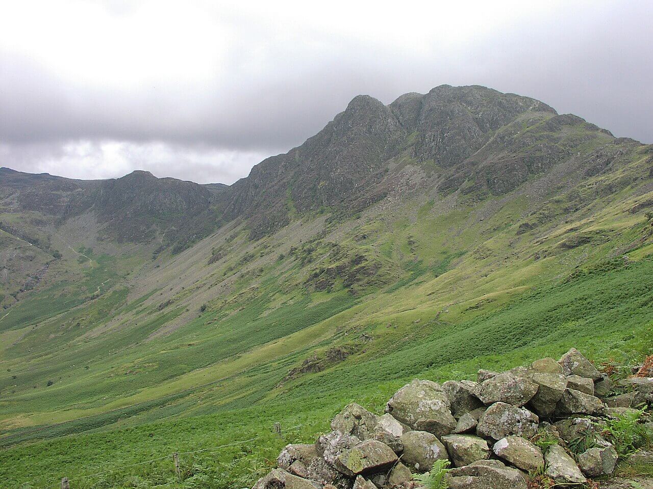
Haystacks (Buttermere)
fellButtermere and the west
597 m (1,959 ft) · Moderate
597 m fell above Buttermere.
Fleetwith Pike
fellButtermere and the west
649 m (2,129 ft) · Strenuous
649 m fell above Buttermere.