
fell · Buttermere and the west · Checklist
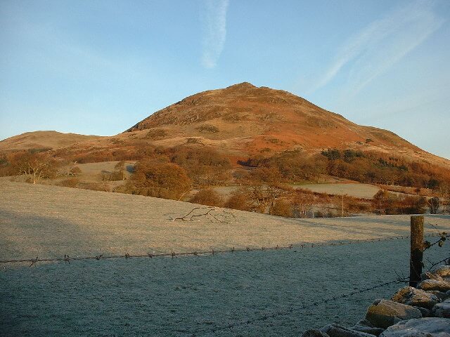
Low Fell
423 m above Loweswater and Ennerdale, usually walked from Buttermere.
- Usual start
- Buttermere
- Time
- About 2–4 hours there and back
- Grade
- Easy
Low Fell is a 423 m Wainwright in the western fells, above Loweswater and Ennerdale. Fellbarrow’s partner, with a broad view over Crummock Water for very little effort. A usual day starts from Buttermere and takes about 2–4 hours. This guide grades it easy, judging distance and steepness in fair summer conditions. Read a mountain forecast before a high fell, and turn back if the ridge is in wind, cloud, or ice.
Nearby
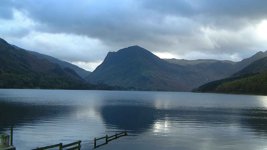
Buttermere
lakeButtermere and the west
Surface area: 0.93 km² (0.36 sq mi) · Length: 2 km (1.2 mi) · Max depth: 23 m (75 ft)
A small lake between Crummock Water and Honister, under High Stile and Fleetwith Pike.
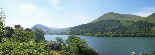
Loweswater
lakeButtermere and the west
Surface area: 0.60 km² (0.23 sq mi) · Length: 1.8 km (1.1 mi)
A small, quiet lake west of Crummock Water.
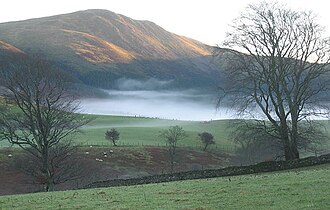
Blake Fell
fellButtermere and the west
573 m (1,880 ft) · Moderate
573 m above Loweswater and Ennerdale, usually walked from Buttermere.
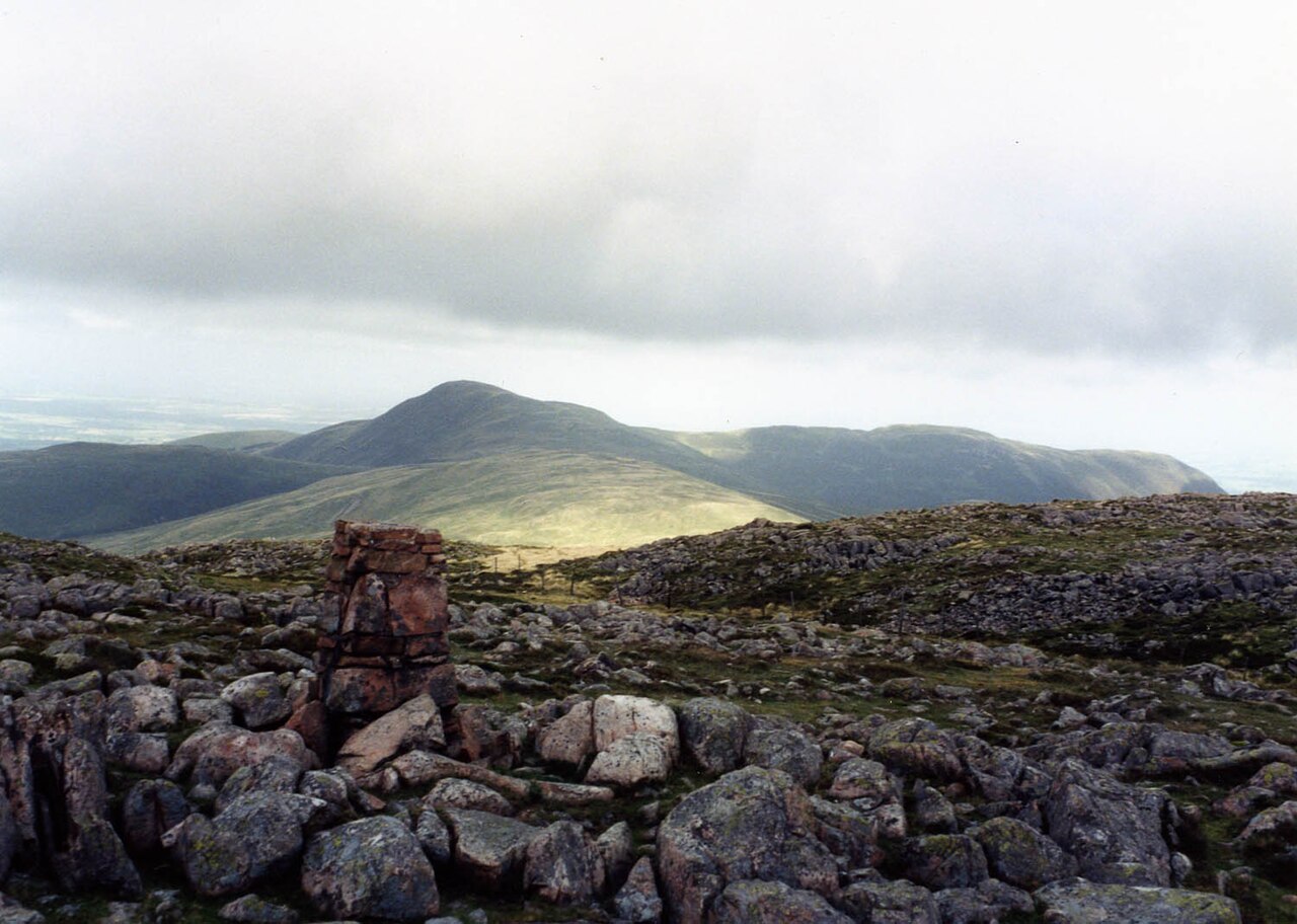
Gavel Fell
fellButtermere and the west
526 m (1,726 ft) · Moderate
526 m above Loweswater and Ennerdale, usually walked from Buttermere.
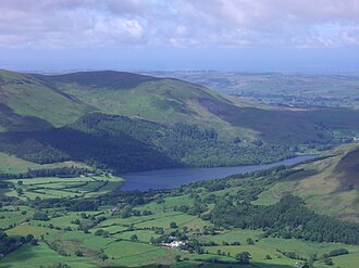
Burnbank Fell
fellButtermere and the west
475 m (1,558 ft) · Moderate
475 m above Loweswater and Ennerdale, usually walked from Buttermere.