
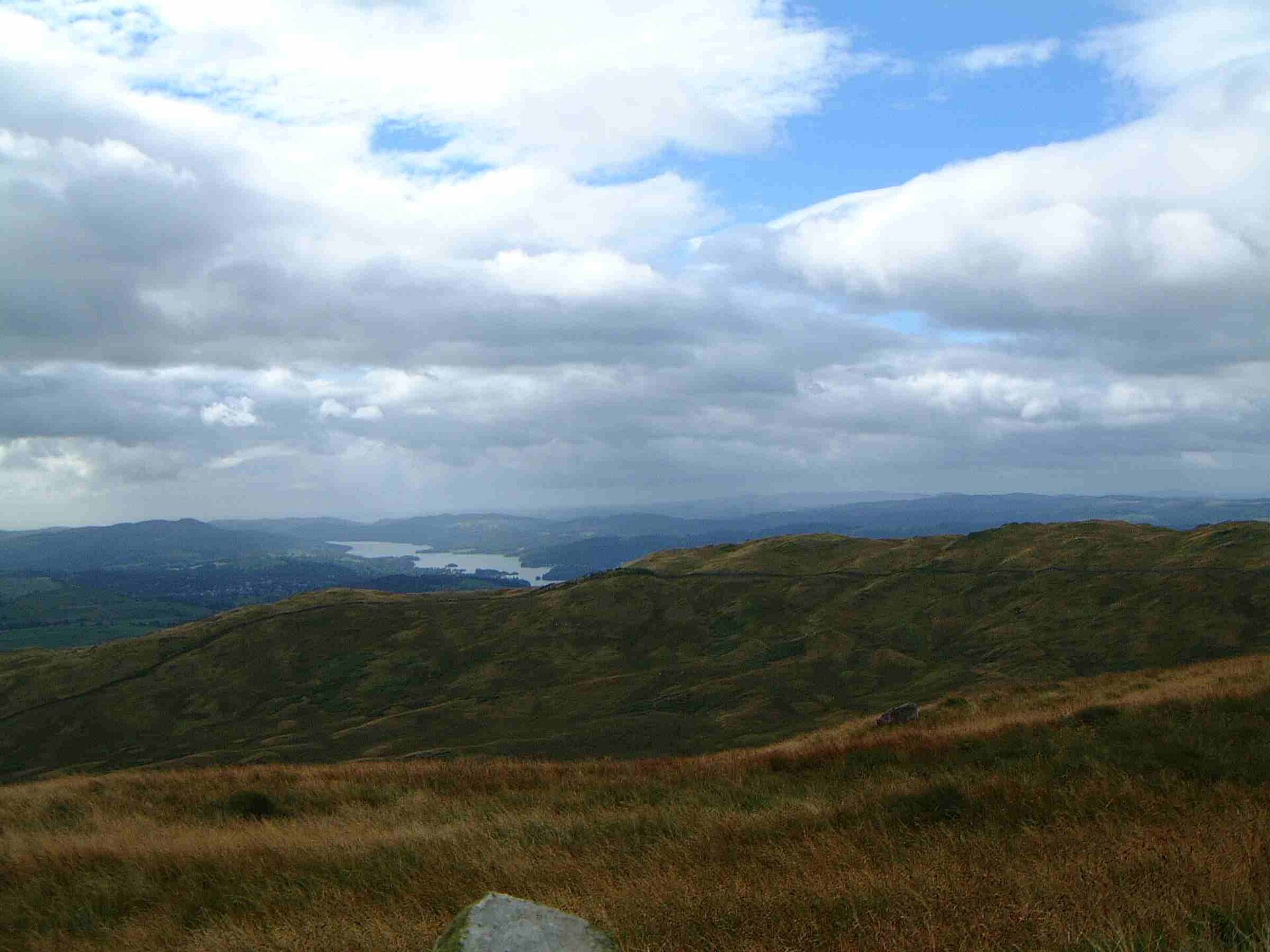
Image credit: Mick Knapton at English Wikipedia · CC BY-SA 3.0 · http://creativecommons.org/licenses/by-sa/3.0/ · Source
fell · Windermere and the south · Checklist
Sour Howes
483 m fell above Troutbeck.
- Usual start
- Troutbeck
- Time
- About 4–6 hours there and back
- Grade
- Moderate
Sour Howes is a 483 m Wainwright in the far eastern fells, above Troutbeck. A low fell between Wansfell and the Kentmere side of the Garburn Pass. A usual day starts from Troutbeck and takes about 4–6 hours. This guide grades it moderate, judging distance and steepness in fair summer conditions. Read a mountain forecast before a high fell, and turn back if the ridge is in wind, cloud, or ice.
Nearby
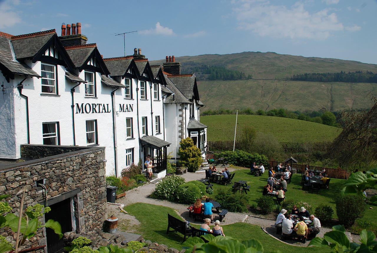
Troutbeck
townWindermere and the south
Population: 499
A scattered village on the fellside above Windermere, under Wansfell.
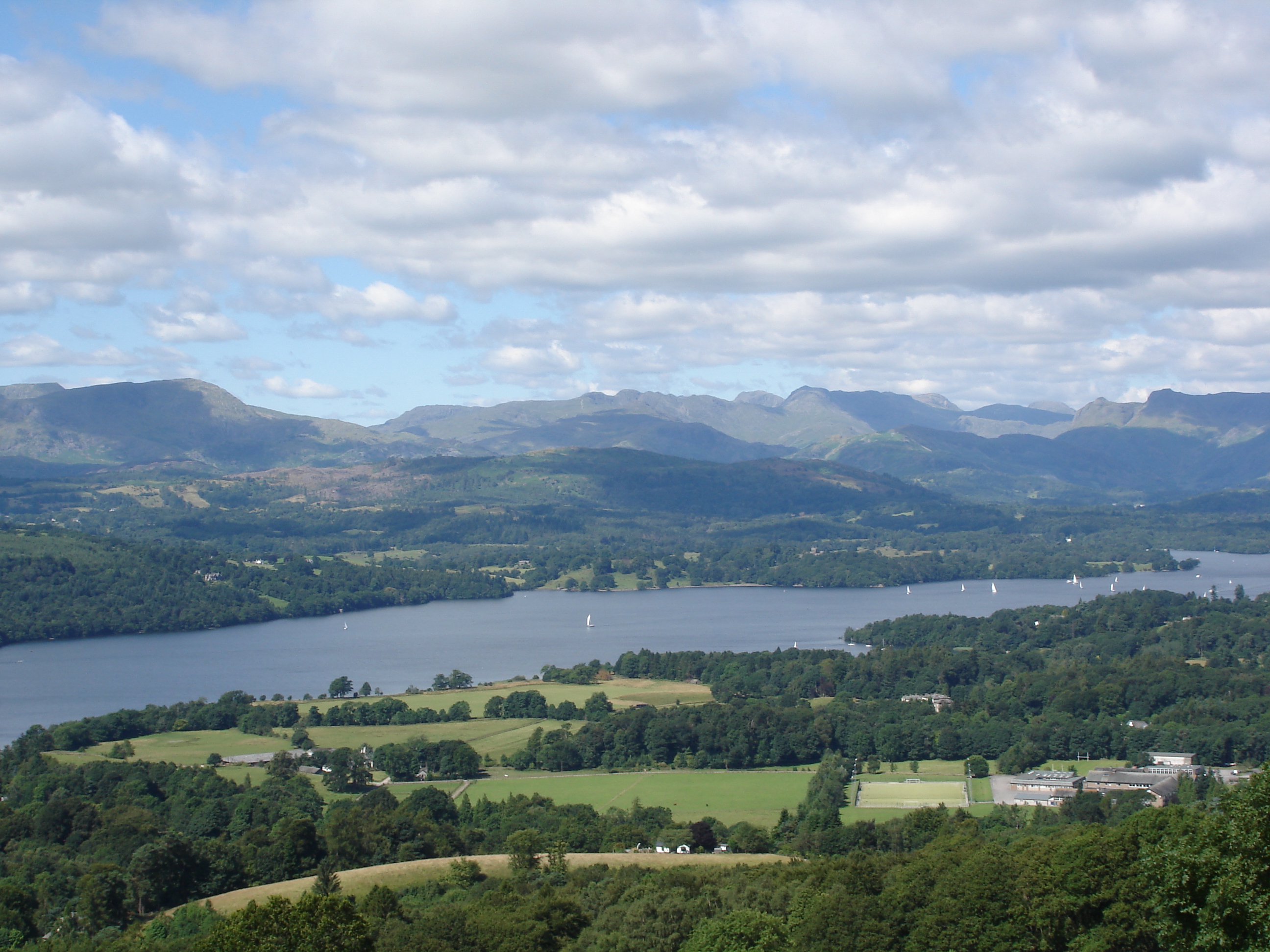
Windermere
lakeWindermere and the south
Surface area: 14.73 km² (5.69 sq mi) · Length: 18.08 km (11.23 mi) · Max depth: 66.76 m (219.0 ft)
England’s largest lake, with Bowness, Ambleside, and the cruises along its length.
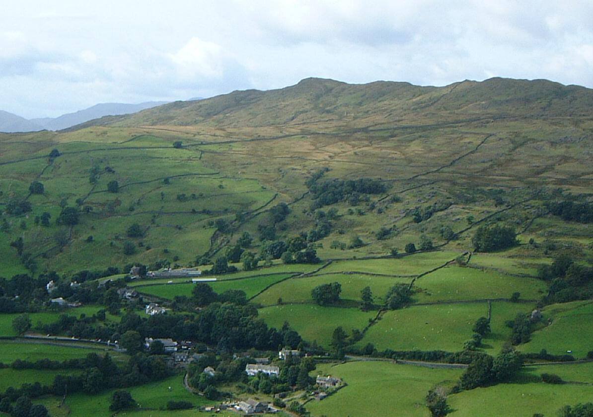
Baystones (Wansfell)
fellWindermere and the south
487 m (1,597 ft) · Moderate
487 m fell above Troutbeck.
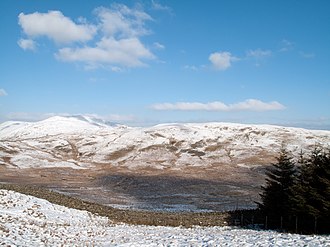
Sallows
fellWindermere and the south
516 m (1,693 ft) · Moderate
516 m fell above Troutbeck.
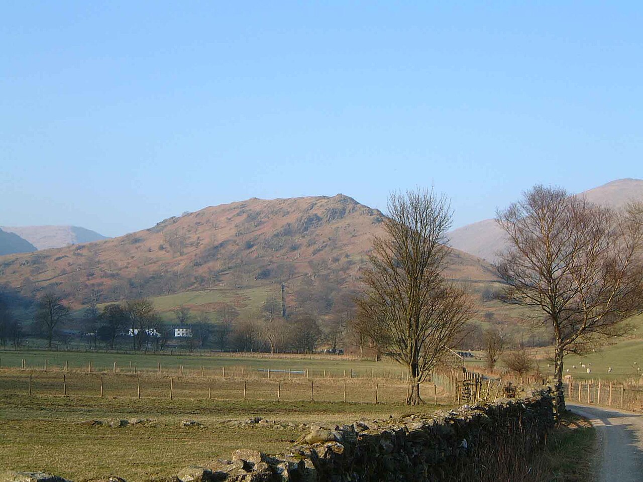
Troutbeck Tongue
fellWindermere and the south
364 m (1,194 ft) · Easy
364 m fell above Troutbeck.