
Image credit: Richard Swales — From geograph.org.uk · CC BY-SA 2.0 · https://creativecommons.org/licenses/by-sa/2.0 · Source
town · Windermere and the south
Staveley
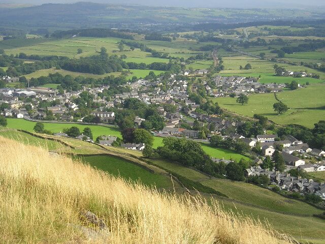
A village in the Kent valley, between Kendal and Windermere, and a start for Kentmere.
Staveley (grid reference SD469981) is a village in the Westmorland and Furness Unitary Authority, in Cumbria, England. Historically part of Westmorland, it is situated 4 miles (6 km) northwest of Kendal where the River Kent is joined by its tributary the Gowan. It is also known as Staveley-in-Westmorland and Staveley-in-Kendal to distinguish it from Staveley-in-Cartmel (a small village near Newby Bridge which is now in Cumbria but was previously in Lancashire). There are three civil parishes – Nether Staveley, Over Staveley and Hugill (part). Their total population at the 2011 Census was 1,593 but this includes those living in the hamlet of Ings in Hugill parish.
Nearby
Kentmere Pike
fellHaweswater and the east
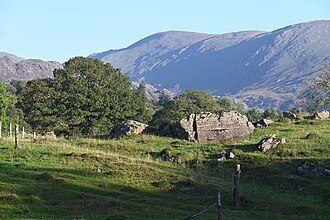
730 m (2,395 ft) · Strenuous
730 m above Kentmere, usually walked from Staveley.
Windermere
townWindermere and the south
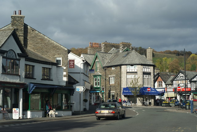
The village at the railway station, up the hill from Bowness and the lake.
Kendal
townWindermere and the south
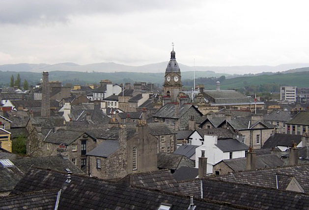
Population: 29,593
The market town at the south-east gateway, on the way in from the M6.