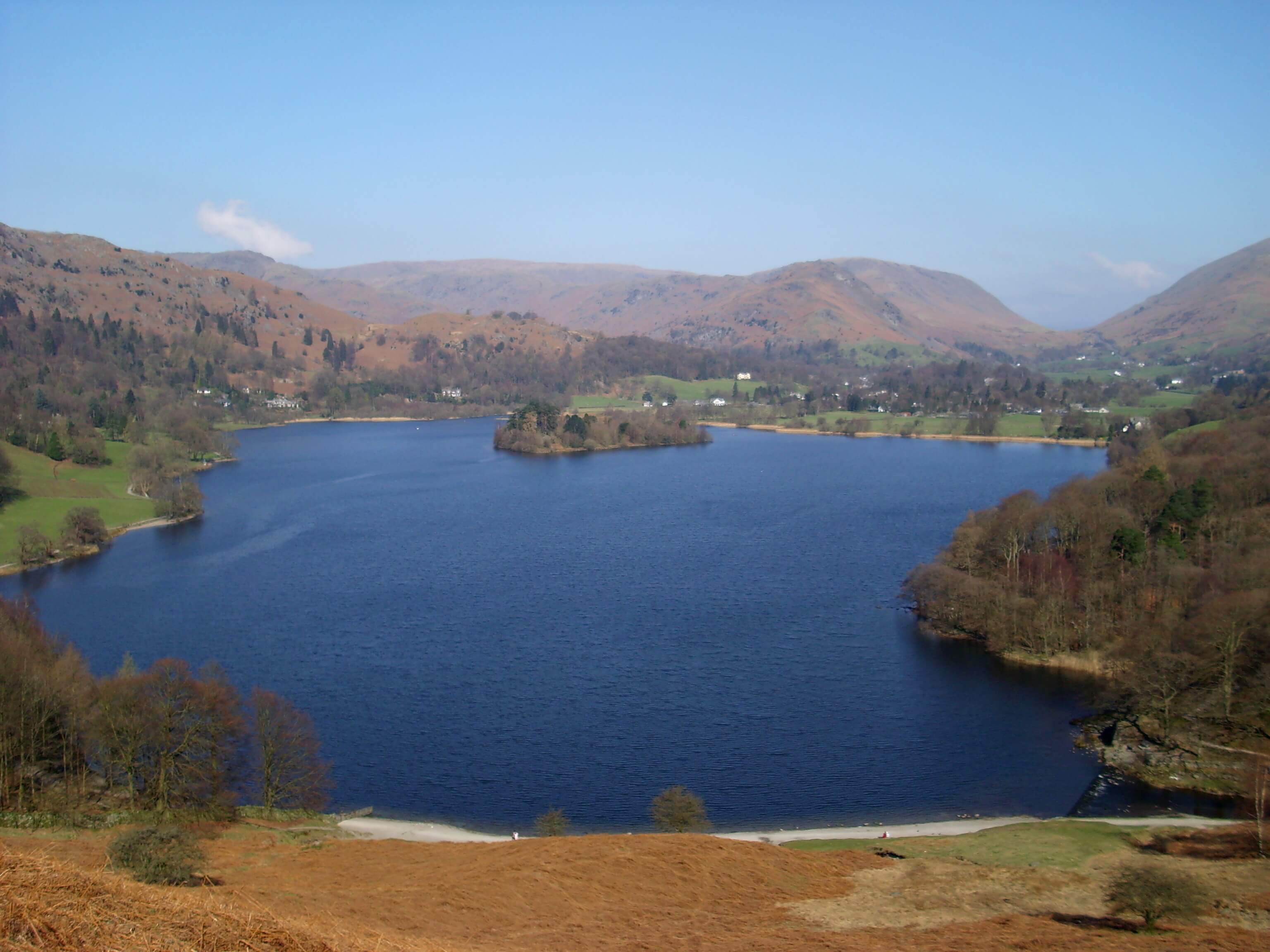
Image credit: Noface1 at English Wikipedia — Transferred from en.wikipedia to Commons by Leoboudv using CommonsHelper. · Public domain · Source
lake · Ambleside, Grasmere and Langdale
Grasmere
The small lake in the valley bottom, with the village on its northern shore.
Grasmere the lake sits in the valley between Dunmail Raise and Rydal Water, with the village on the northern shore and Loughrigg across the water. A path goes most of the way round. The fells that rise behind the village — Helm Crag, Silver How, and the Fairfield horseshoe — are a different walk from a circuit of the shore. Rowing boats are sometimes available from the village side in season; there is no cruise service of the Windermere kind.
Nearby
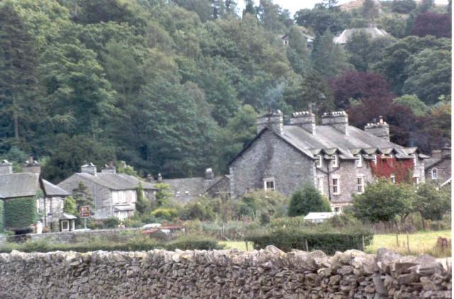
Grasmere
townAmbleside, Grasmere and Langdale
The village at the north end of Grasmere lake, a base for Helm Crag and Fairfield.
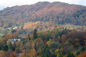
Loughrigg Fell
fellAmbleside, Grasmere and Langdale
335 m (1,099 ft) · Easy
335 m above Grasmere and Ambleside, usually walked from Grasmere.
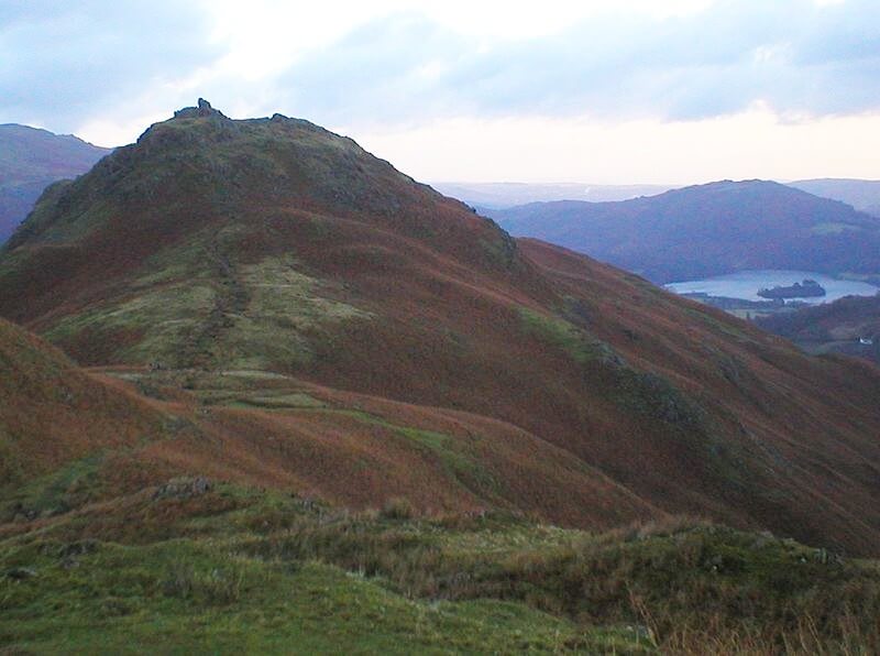
Helm Crag
fellAmbleside, Grasmere and Langdale
405 m (1,329 ft) · Moderate
405 m above Grasmere and Ambleside, usually walked from Grasmere.
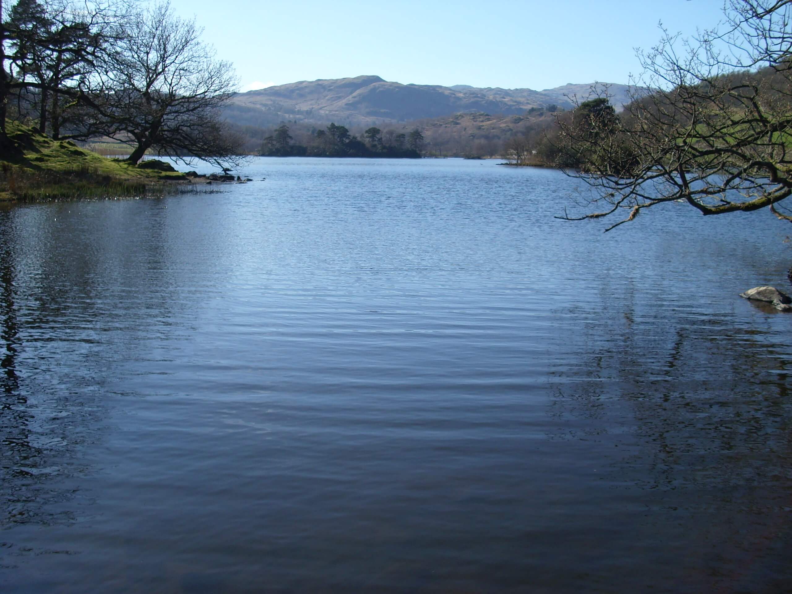
Rydal Water
lakeAmbleside, Grasmere and Langdale
Surface area: 0.31 km² (0.12 sq mi) · Length: 1,290 yd (1,180 m)
The small lake between Grasmere and Ambleside, under Nab Scar.