Image credit: D Johnston · CC BY-SA 2.0 · https://creativecommons.org/licenses/by-sa/2.0 · Source
town · Ambleside, Grasmere and Langdale
Grasmere
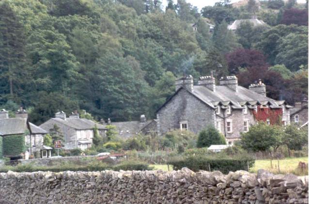
The village at the north end of Grasmere lake, a base for Helm Crag and Fairfield.
Grasmere village sits at the north end of the lake, a short walk from Dove Cottage and the gingerbread shop by the church. It is the base for Helm Crag, Silver How, and the Fairfield horseshoe, and it is on the 555 bus between Ambleside and Keswick. The lake of the same name is the water to the south. Both are worth knowing: one is the shore, the other is where you sleep and start.
Nearby
Grasmere
lakeAmbleside, Grasmere and Langdale
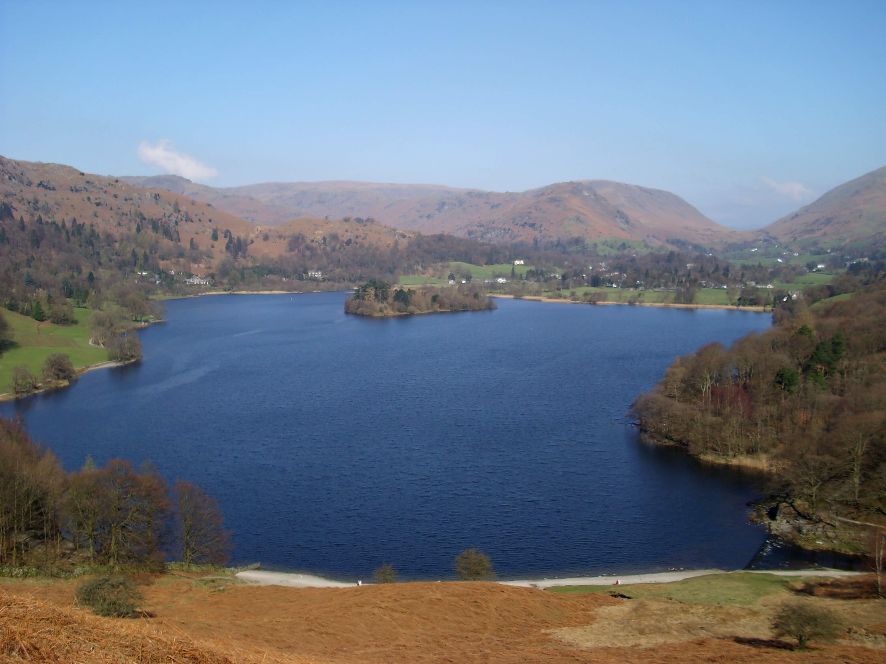
Surface area: 0.62 km² (0.24 sq mi) · Length: 1680 yd (1540 m) · Max depth: 70 ft (21 m)
The small lake in the valley bottom, with the village on its northern shore.
Dove Cottage & Wordsworth Grasmere
attractionAmbleside, Grasmere and Langdale
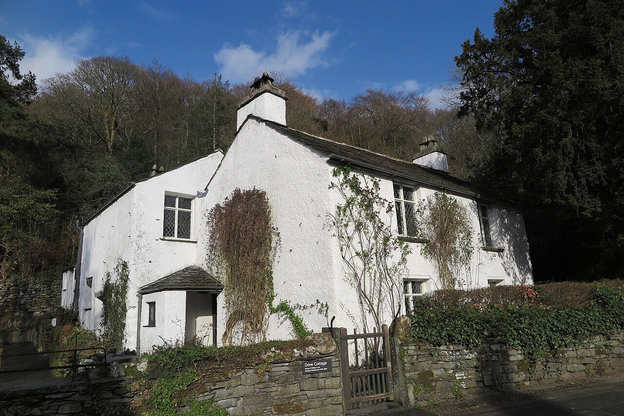
Wordsworth’s cottage and museum on the edge of Grasmere village.
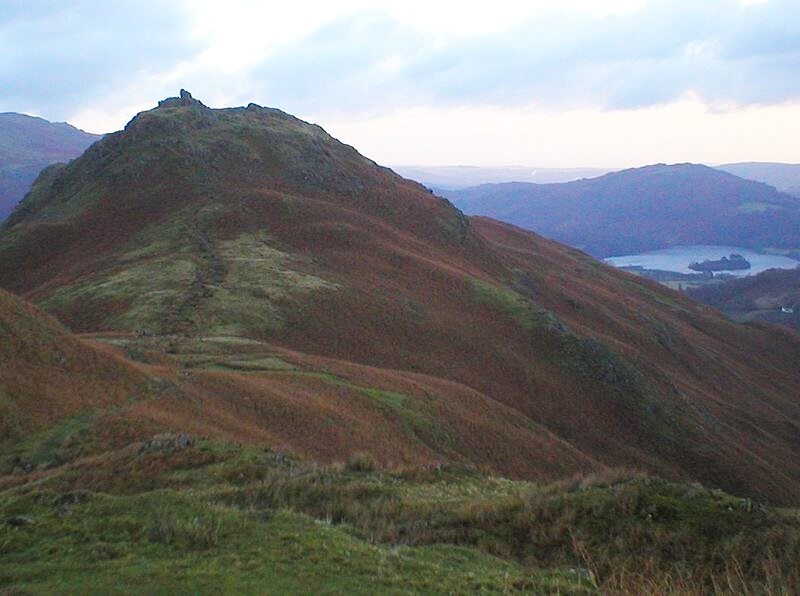
Helm Crag
fellAmbleside, Grasmere and Langdale
405 m (1,329 ft) · Moderate
405 m above Grasmere and Ambleside, usually walked from Grasmere.
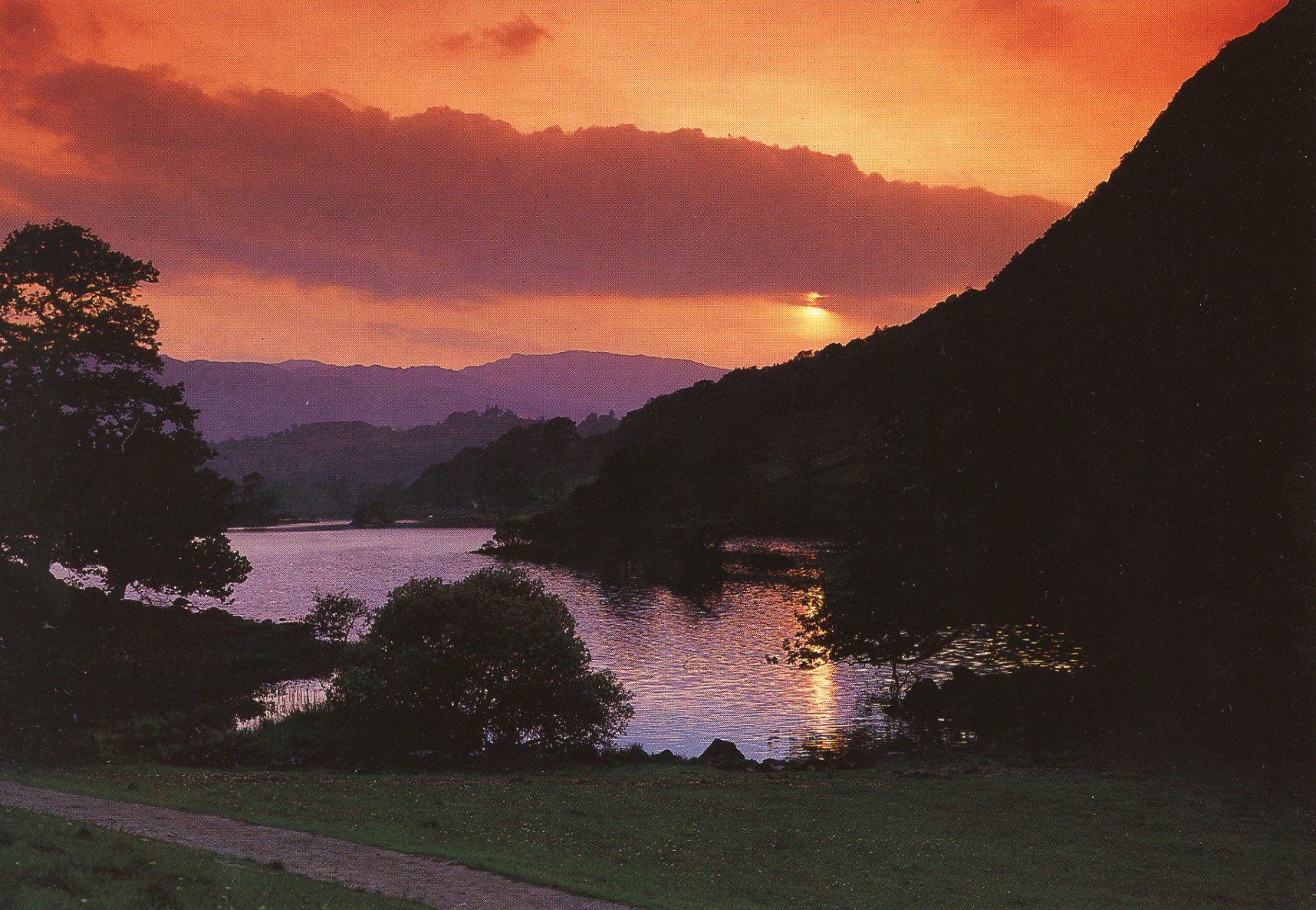
Rydal
townAmbleside, Grasmere and Langdale
A hamlet between Ambleside and Grasmere, by Rydal Water and Rydal Mount.